Tierra del Fuego ( /tiːˈɛərə dɛl ˈfweɪɡoʊ/, Spanish: [ˈtjera ðel ˈfweɣo]; Spanish for "Fireland" or "Land of Fire") is an archipelago off the southernmost tip of the South American mainland, across the Strait of Magellan. The archipelago consists of a main island Isla Grande de Tierra del Fuego divided between Chile and Argentina with an area of 48,100 km2 (18,572 sq mi), and a group of smaller islands including Cape Horn. Initially discovered by Ferdinand Magellan's expedition in 1520, the islands were not settled by people of European descent until the second half of the 19th century at the height of the sheep farming and gold rush booms. Today's economic activity in the northern part of Tierra del Fuego is dominated by petroleum extraction while in the south tourism, manufacturing and Antarctic logistics are important. The numbers of the native Selk'nam and Yaghans were greatly reduced by introduced diseases and by unequal conflicts with settlers. Today the Selk'nam are practically extinct as a distinct people, with all of their very few descendants being mestizos and their language extinct. Some of the few remaining Yaghans have settled in Villa Ukika in Navarino Island, others have scattered across Chile and Argentina. Tierra del Fuego hosts large areas protected as national parks and reserves, most of them in the mountainous south.
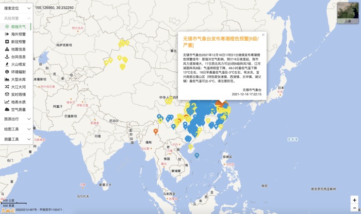
Extreme weather in China
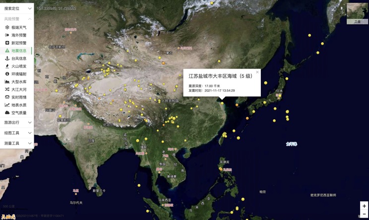
China Earthquake Information
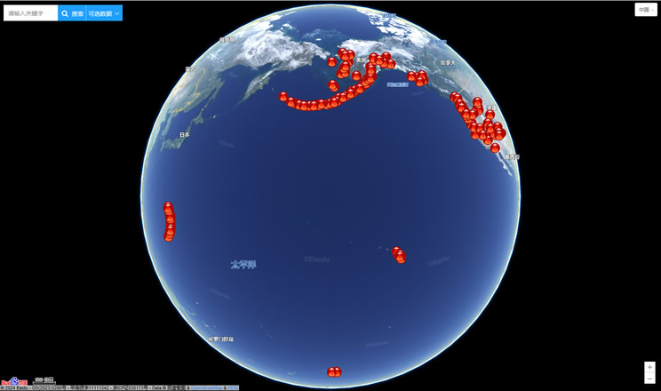
Volcano eruption
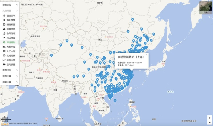
Environmental Radiation in China
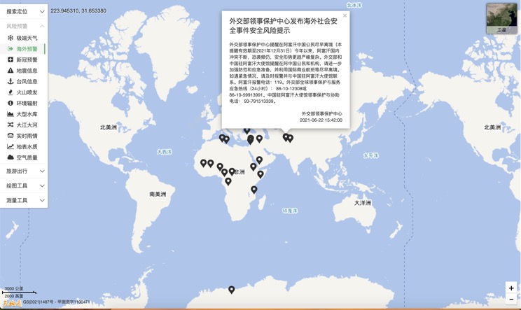
Overseas Warning
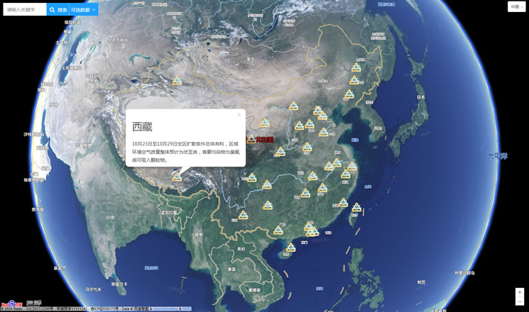
China's air quality
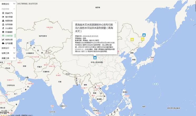
China's Water Disaster Alert
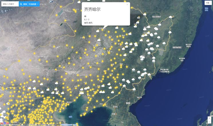
China Weather Forecast
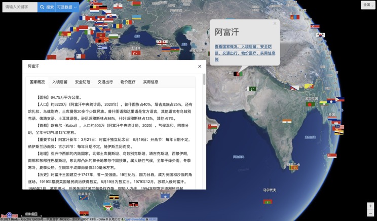
Introduction to Countries
China Subway Lines

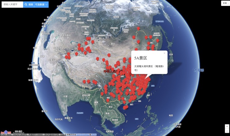
China's 5A Scenic Spots
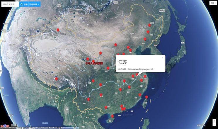
Provincial Capitals in China
